In January 2026, something important happened quietly in Paramaribo.
A room full of government officials, planners, and technical specialists sat together to look at a map, and collectively acknowledged that what they were looking at no longer reflected the country they live and work in.
That moment was the catalyst for a larger conversation. One that Lybra is proud to have helped facilitate.
The Visit
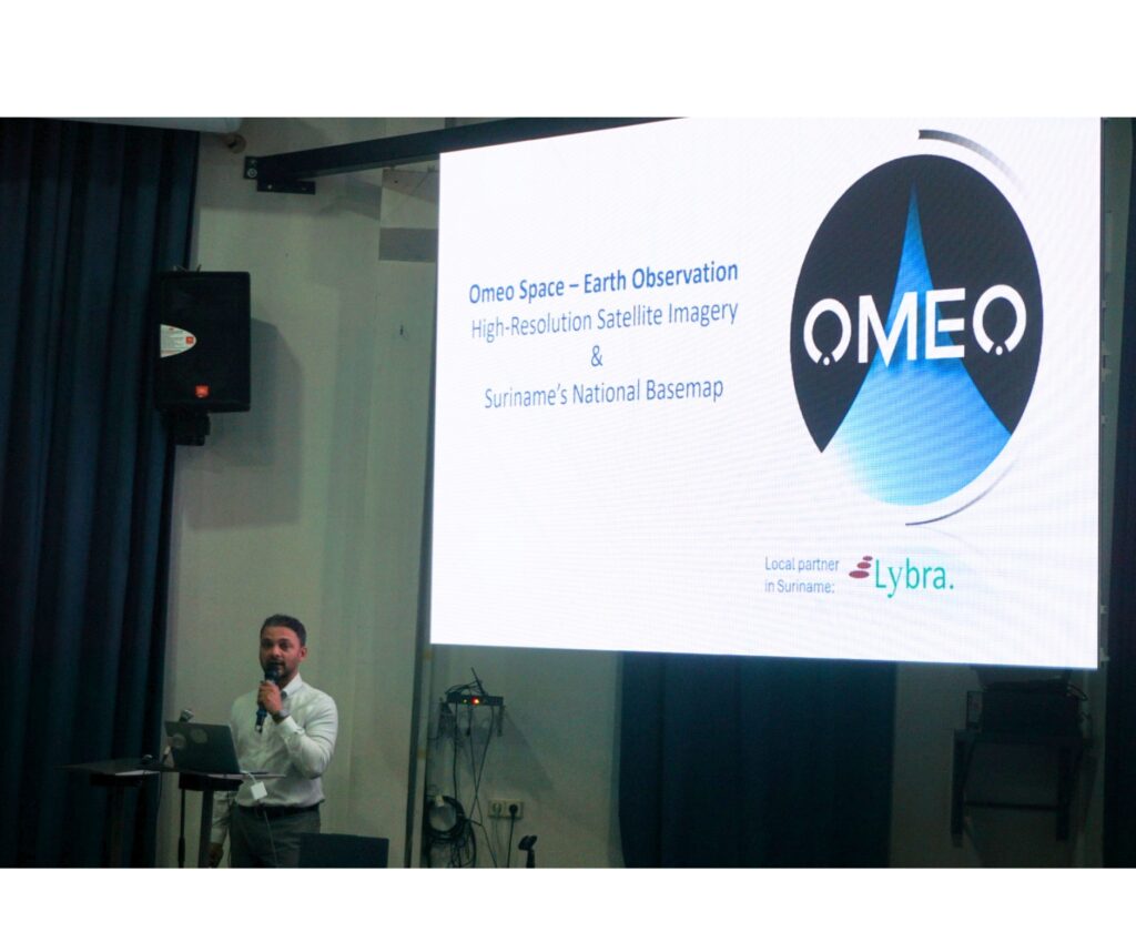
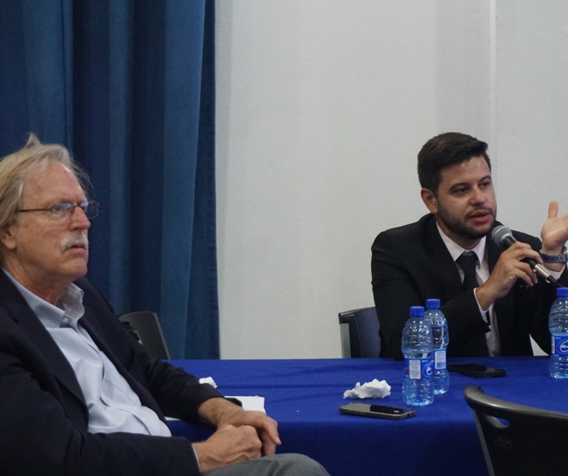
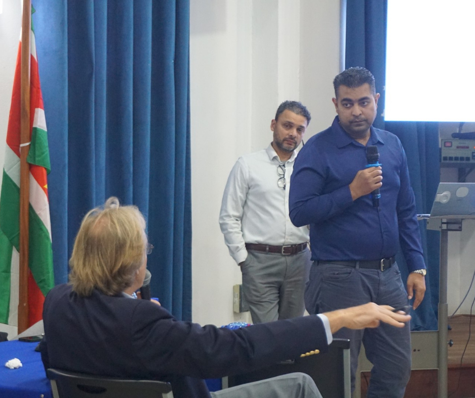
In January 2026, Lybra welcomed OMEO Space, an international Earth observation company headquartered in Singapore with a regional office in Brazil, to Suriname for a national information session. The event brought together representatives from across government, including the Ministry of Public Works and Spatial Planning (Min. OWRO), the Ministry of Oil, Gas and Environment (Min. OGM), Land Administration (MI-GLIS), the National Planning Office, the Land Policy and Forestry Management Directorate, N.V. GISsat, TotalEnergies, and several other agencies.
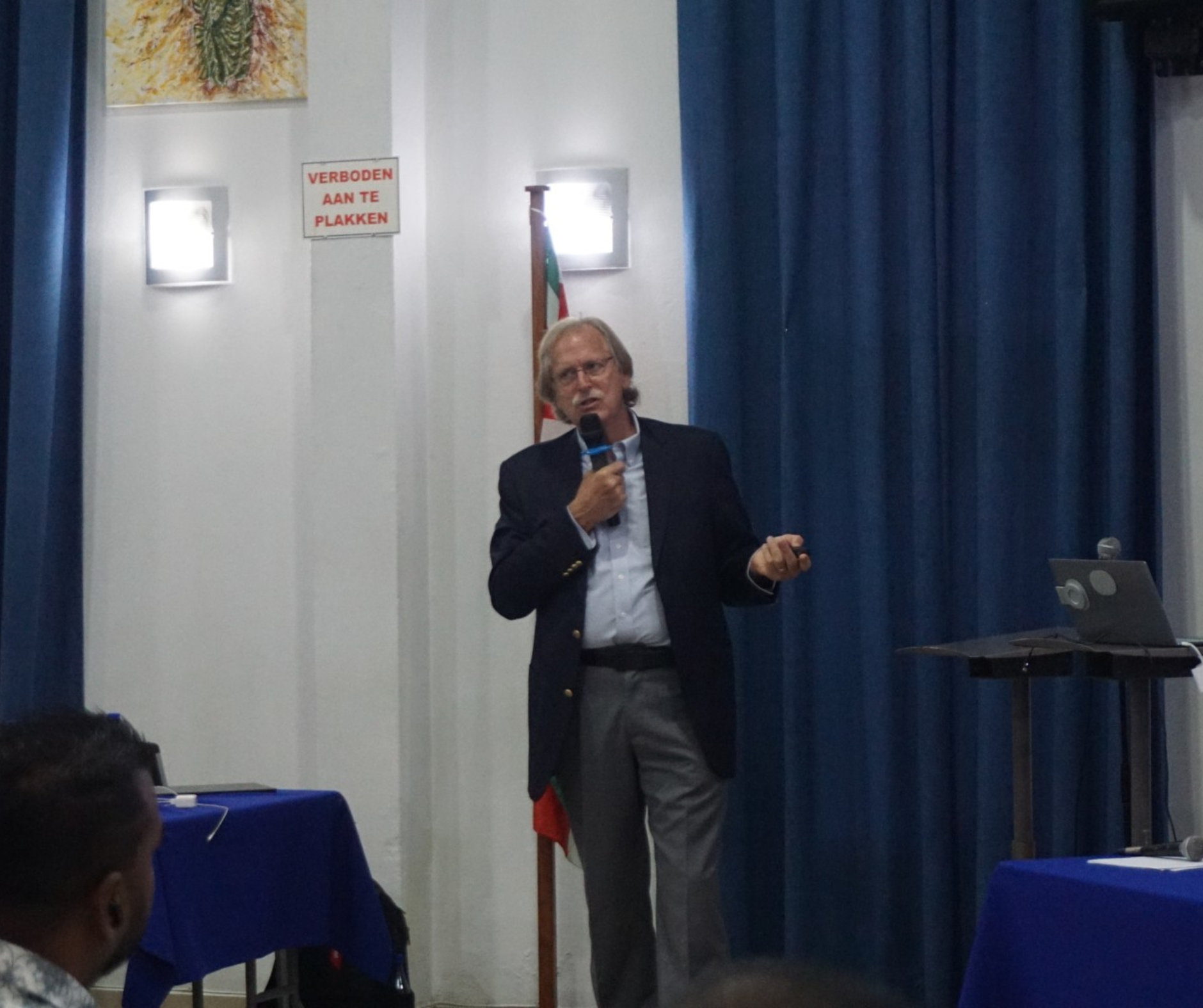
The session was facilitated by Dr. John Ahlrichs, Senior Advisor at OMEO Space, and Gabriel Crivellaro Gonçalves, Commercial Manager for South America, both of whom brought deep expertise in satellite imagery, geospatial systems, and national mapping projects from across the globe.
The Problem: A Country That Has Outgrown Its Map
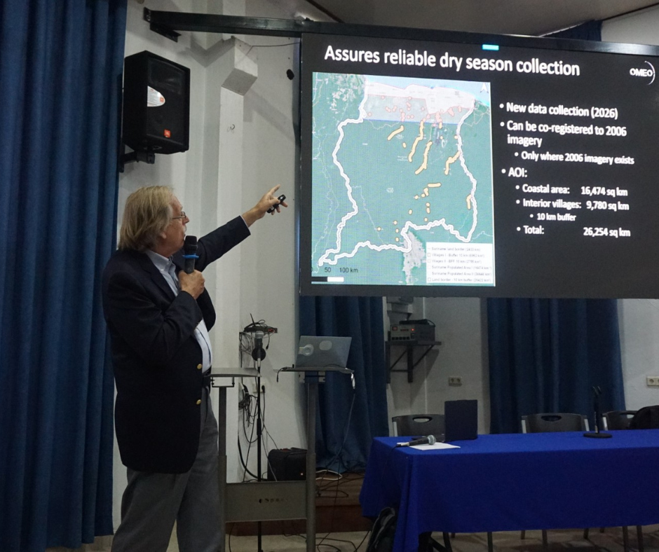
Suriname’s current National Basemap is derived from aerial photography acquired in 2005–2006 as part of the GLIS project. At the time, the terms of reference specified that the basemap should be updated every three to five years in urban areas and five to seven years in rural areas.
Nearly two decades later, no systematic national update has taken place.
In that time, Suriname’s population has grown by approximately 20%. New settlements have emerged. Infrastructure has expanded. Mining activity has intensified in the interior. Deforestation has accelerated. And yet, the reference layer that government ministries rely on for planning, land administration, environmental monitoring, and disaster management remains frozen in 2006.
The consequences are real and wide-ranging. Agencies are working from inconsistent data — patching together Google Earth imagery of varying dates and resolutions, free satellite feeds, and ad hoc commercial purchases. The result is fragmented, unreliable, and ultimately costly. Decisions about land titling, flood modeling, waste management, infrastructure development, mine permitting, and border management are being made on an incomplete and outdated picture of the country.
As one workshop participant put it simply: “This is what I need to do my job.”
What the Stakeholders Said
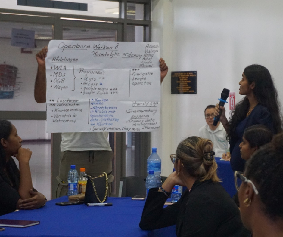
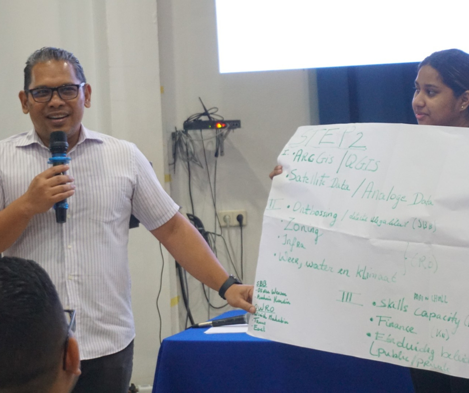
The information session wasn’t just a presentation; it was a structured dialogue. Participants were asked to share how they currently use geospatial data, what their use cases are, and where the gaps lie. The responses were consistent and clear.
Every group named an updated national basemap as their top priority. Beyond that, the needs that surfaced repeatedly included a high-resolution Digital Terrain Model (DTM) for flood and drainage planning, improved cross-ministerial data sharing and coordination, and — critically — capacity building. The human dimension kept coming up: Suriname has capable, committed professionals working with GIS and spatial data across government. What they need is better data, better tools, and the training to use both effectively.
Finance and policy consistency were also cited as key challenges. Investing in national geospatial infrastructure requires both political will and a sustainable funding model — and the conversation about how to get there is still ongoing.
The Solution: The Data Already Exists
Here is what made the session particularly striking: the data needed to update Suriname’s National Basemap already exists.
OMEO Space has analysed its commercial archive and confirmed that satellite imagery collected between 2023 and 2025 covers 99.96% of Suriname with less than 5% cloud cover: captured at 50 to 30 cm resolution. For context, that level of detail means you can distinguish individual
houses, vehicles, trees, and infrastructure features across the entire country, including the interior.
A complete, unified national basemap at 50 cm resolution could be delivered within 60 days, co-registered to the existing 2006 imagery, and licensed for use across all government ministries and public universities, government-owned, with no ongoing restrictions or duplicate purchase costs.
Beyond the basemap, OMEO Space also presented options for 30 cm coastal imagery, a national 5-metre Digital Terrain Model derived from L-band radar, capable of seeing through dense vegetation; and a high-precision 1-metre DTM and bathymetric solution for the coastal zone, using airborne LiDAR technology.
The technology is ready. The imagery exists. What is needed now is a decision.
Why This Matters Beyond Maps
It would be easy to frame this as a technical issue, a data gap to be filled by the right vendor with the right satellite. But the implications run much deeper than that.
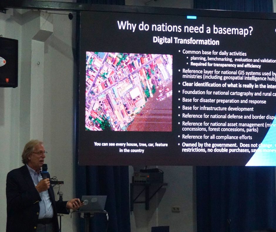
An accurate, current, government-owned national basemap is foundational public infrastructure. It is the layer on which land rights are verified, taxes are assessed, disasters are managed, borders are defended, and development is planned. Without it, every ministry operates in partial blindness, duplicating effort, making avoidable errors, and losing both time and revenue.
The GIS Maturity Model presented during the session showed that Suriname’s government agencies currently sit at varying stages of digital readiness, from traditional desktop GIS to early web-based systems, with a few advancing into more sophisticated data-sharing environments. Progress is happening. But without a shared, authoritative national reference layer, that progress is constrained.
Updating the basemap is not just an investment in better maps. It is an investment in better governance.
Lybra’s Role
As OMEO Space’s local partner in Suriname, Lybra played a central role in convening this session, bringing together the right stakeholders, facilitating the dialogue, and helping translate global geospatial expertise into a Surinamese context.
This is consistent with what Lybra has always stood for: connecting people, knowledge, and opportunity in ways that move Suriname forward. Whether that is through leadership development, AI literacy, or facilitating partnerships that strengthen national infrastructure; the thread is the same. We believe that transformation starts with having the right information, the right people in the room, and the courage to act on what you learn.
The January session was the beginning. The conversation continues, and Lybra will remain an active part of it.
Interested in learning more about Suriname’s geospatial development or Lybra’s partnership work?
Reach out to us at info@lybragroup.com or visit www.lybragroup.com.