
OMEO Space Satellite Imagery — Suriname
Access a multi-constellation satellite portfolio — from 30 cm optical to hyperspectral and radar — through Lybra, the authorized OMEO Space distributor for Suriname.
Lybra Training, Coaching & Consulting N.V. is an Authorized Distributor of OMEO Space for Suriname. OMEO Space, a brand of Constellport PTE. LTD., Singapore, works with satellite operators and brings their optical, radar, hyperspectral and specialty satellites into one catalogue and one ordering platform, OMEOSEARCH. As of January 2026, OMEO Space represented more than 90 satellites in orbit.
Authorized Distributor — Suriname
Why OMEO Space
30 cm detail
30 cm panchromatic and 1.2 m multispectral imagery, with 15 cm super-resampling available.
150 km swath at 50 cm
EarthScanner covers very wide areas in a single pass, which matters in cloud-prone Suriname.
Daily revisit
The DailyVision constellation is built for high revisit, backed by a deep sub-metre archive.
Beyond optical
Hyperspectral, night-time imaging, 30-second video and Synthetic Aperture Radar (SAR) for all-weather monitoring.
Terrain products
Digital Surface Model (DSM) and Digital Terrain Model (DTM) products at 10, 5, 3, 2 and 1 m, produced from stereo satellite imagery.
What we deliver
OM30 — 30 cm optical
Marketed as the largest commercial 30 cm constellation. Five-band products combine 30 cm panchromatic and 1.2 m multispectral imagery, with optional 15 cm super-resampling. Archive and new tasking.
EarthScanner 50 cm
50 cm imagery with a unique 150 km swath: the workhorse for large-area mapping in cloud-limited countries such as Suriname.
DailyVision 75 cm
A high-revisit 75 cm constellation, also offering 1 m and wide modes, with a deep sub-metre archive.
Hyperscan hyperspectral
Hyperspectral imaging with 19 bands at 5, 10 and 20 m, plus 3 m RGB, revealing what standard colour imagery cannot.
NightVision and Video
1.2 m night-time imaging and 30-second colour video sessions.
Gaofen, Ziyuan and radar
Stereo optical imagery for elevation work, plus C-band and L-band radar. L-band penetrates dense vegetation and can show terrain beneath the forest canopy.
Value-Added Products (VAP)
DSM and DTM from 1 m to 10 m, and the VHR Annual World Mosaic: a seamless, colour-balanced mosaic delivered by streaming.
OMEOSEARCH
Search the archive, check feasibility and order new tasking in one online workflow. Lybra administers OMEOSEARCH accounts for customers in Suriname.
Imagery is delivered in standard GIS formats such as GeoTIFF and, on request, published as tiled imagery layers in ArcGIS Online so your team can use it in web maps and apps straight away.
Full specifications on the OMEO Space website: omeospace.com · OMEOSEARCH
Built for Suriname
Base mapping and cadastre
Current, country-wide imagery for base mapping and land administration.
Illegal-mining and deforestation monitoring
Regular coverage of the interior to detect new clearings and mining activity.
Flood-risk mapping
Imagery and elevation products for flood-prone coastal and river areas.
Oil and gas infrastructure
Site and corridor monitoring for exploration, production and pipelines.
Coastal and port surveillance
Monitoring of the coastline, river mouths and port areas.
Disaster response
Rapid archive search and tasking when an event occurs; radar images through cloud.
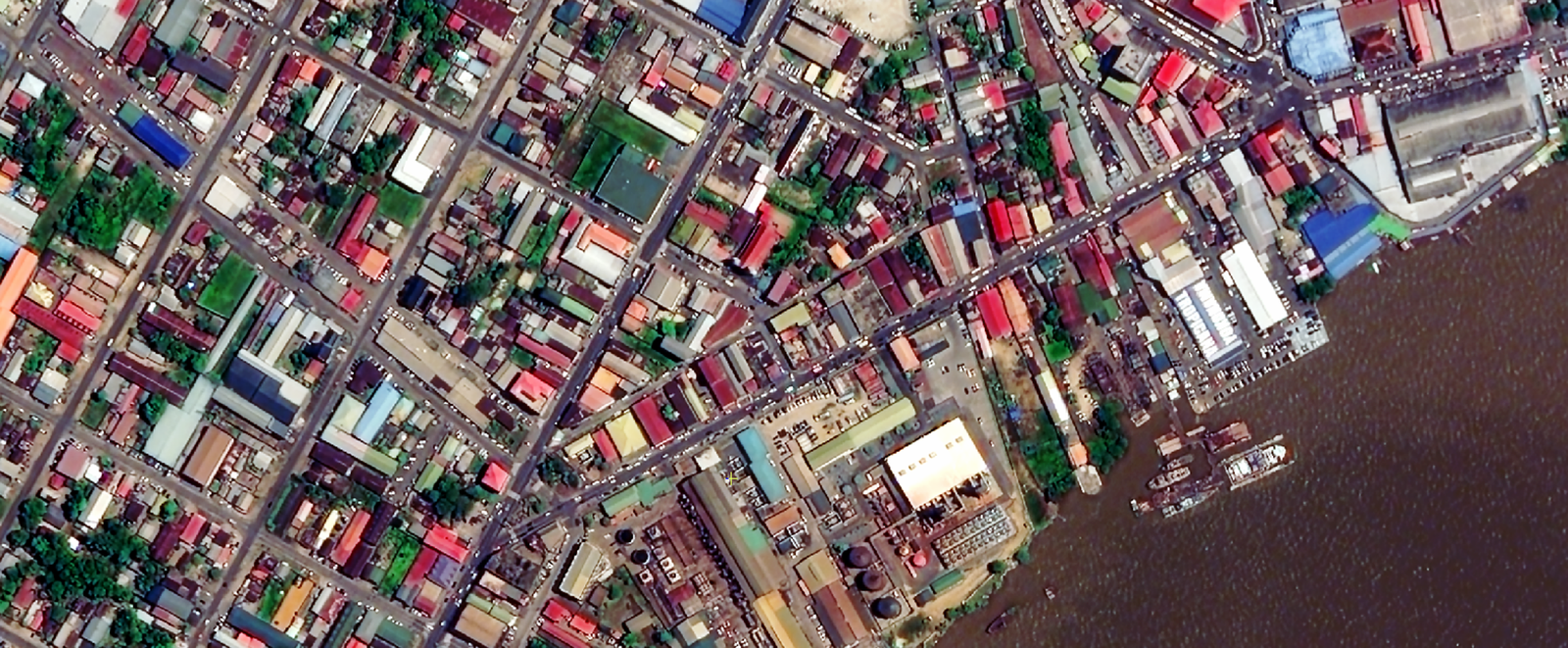
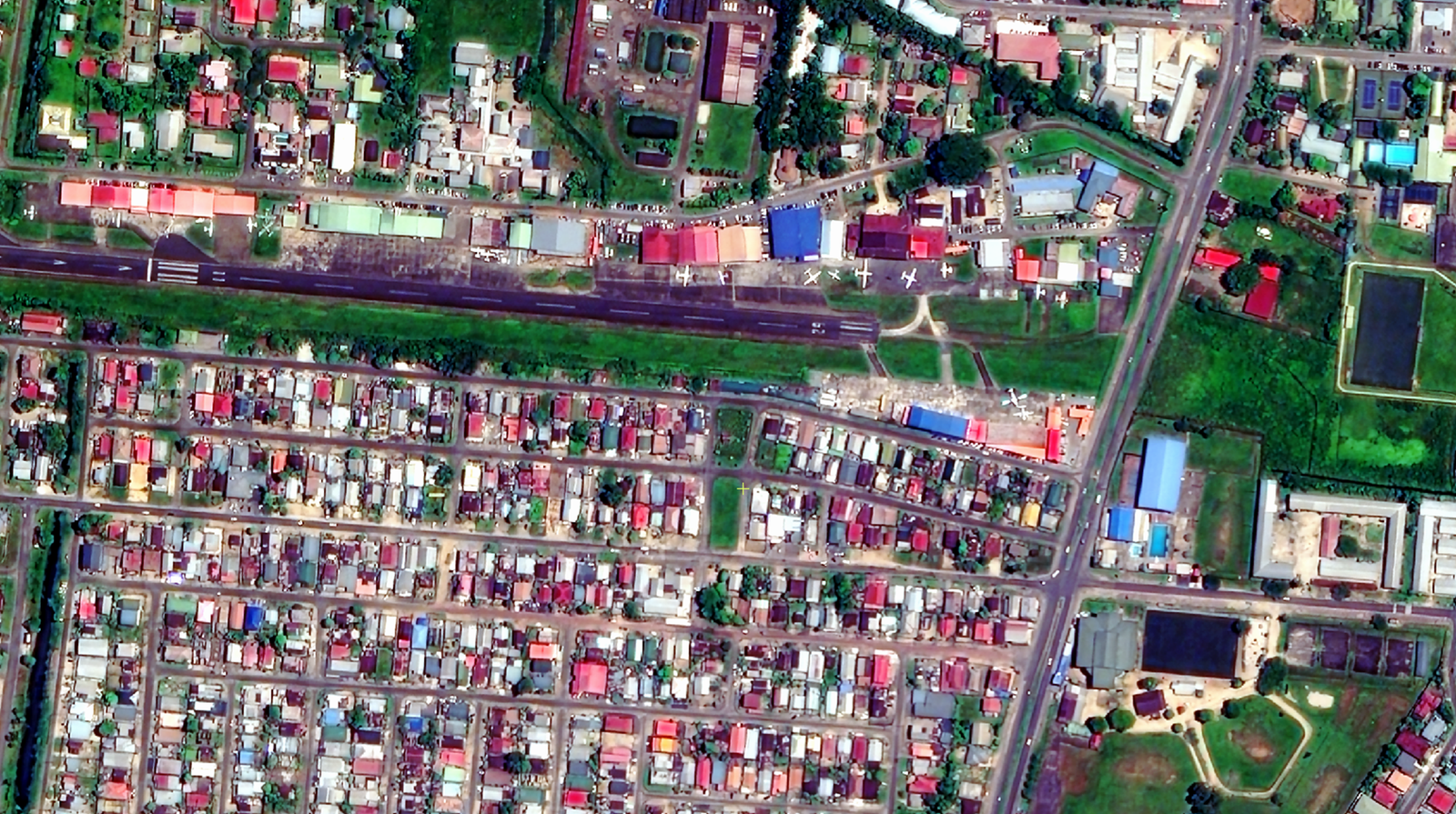
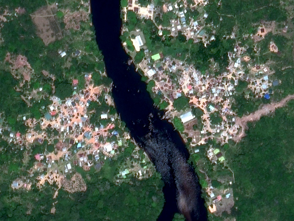
Sample imagery
How it works
- 1. Enquiry — tell us your area of interest, dates and resolution.
- 2. Feasibility — Lybra checks the archive and tasking options in OMEOSEARCH.
- 3. Quote and confirmation — we quote and confirm the order with OMEO Space.
- 4. Delivery — imagery is delivered digitally, ready to load into your GIS.
We agree a realistic timeline with you in the quote; new tasking depends on weather and satellite availability.
Why order through Lybra
- Local, authorized partner — invoicing in Suriname, support in Dutch and English, no international procurement hurdles.
- End-to-end — from the first boundary sketch to a published ArcGIS Online map, one team handles it.
- GIS depth — Lybra is an Esri Partner and works alongside GISsat N.V., the Esri distributor for Suriname, so imagery lands inside a working GIS, not on a hard drive.
- Local OMEO Space partner — Lybra is the local OMEO Space partner in Suriname, appointed under a distribution agreement.
Frequently asked questions
What area can I order?
Order options depend on the satellite and on whether you need archive imagery or new tasking. Share your area of interest and we will advise on the best option.
Can I get imagery from a specific date?
If a scene exists in the archive for that date and your area, yes. Otherwise we can task a new capture.
What about cloud cover in the rainy season?
Suriname is one of the cloudiest places to image. The 150 km EarthScanner swath captures large areas on each clear day, the DailyVision constellation revisits frequently, and radar satellites image through cloud. Together they give the best chance of usable coverage.
Can you host the imagery for me?
Yes. We publish delivered imagery as tiled layers in ArcGIS Online and build the web map or app around it.
Do you also sell other satellite data?
Yes — Lybra can also advise on other satellite and geospatial data sources. We will recommend the right source for your need.
Contact us!
Contact us today to learn more about how OMEO Space imagery can support your organisation. Click the button below to provide your details, and we will reach out to schedule a meeting.
OMEO Space and the OMEO Space logo are trademarks of Constellport PTE. LTD., Singapore, and are used with permission. Satellite imagery © OMEO Space, used with permission. Lybra Training, Coaching & Consulting N.V. is an Authorized OMEO Space Distributor for Suriname. Contact: info@omeo.lybracloud.com