
Below is a short teaser of this session:
Wrapping Up: Empowering Environmental Leaders through Geospatial Technology
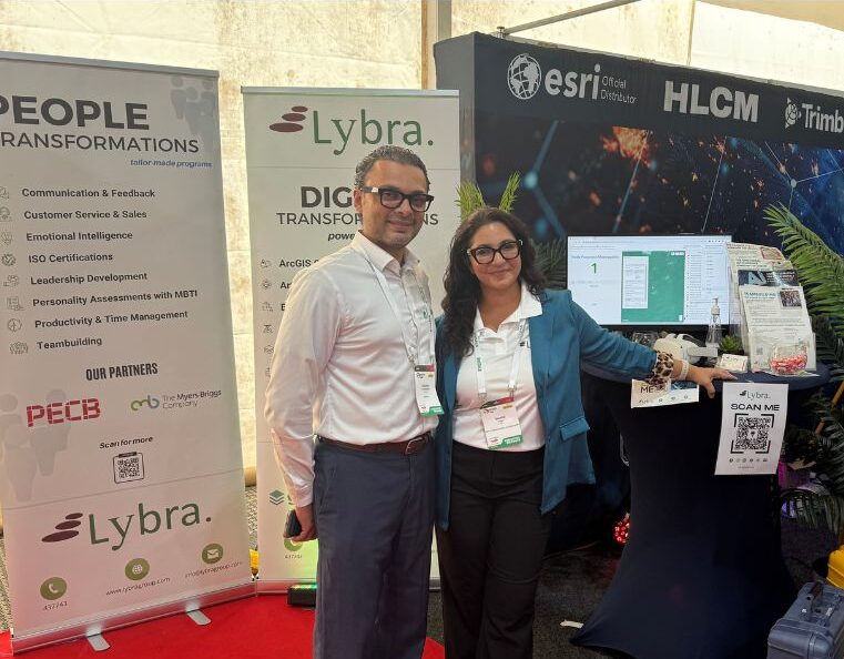
We’re thrilled to share the exciting conclusion of the Capacity Building Workshop for Mangrove and Hydrological Events! This transformative journey recently reached its pinnacle with a special focus on ArcGIS and ArcGIS Pro. This final segment marked a significant step towards boosting Suriname’s environmental capabilities, thanks to the combined efforts of SERVIR-Amazonia and Lybra Training, Coaching, and Consulting.
What Participants Learned and Achieved
- Goal 1: Get to know ArcGIS Online
Participants got hands-on experience with ArcGIS Online, an online tool for maps and analysis. They learned how to use it, exploring its features and how it works. Think of it as an online platform to make maps and understand data more easily. - Goal 2: Learn about Mapping with ArcGIS Online
During this part, participants learned the art of creating maps. They figured out how to take raw data and turn it into meaningful, easy-to-understand maps. Imagine taking lots of information and turning it into colorful pictures that tell stories. - Goal 3: Share and Work Together
The workshop also covered how to share and collaborate using ArcGIS Online. Participants discovered ways to work together on maps, like sharing maps on websites and using apps to talk about their findings. It’s like having a digital meeting room where everyone can see and talk about maps.
Skills and Benefits Gained
- Look at data in new ways, finding hidden patterns and connections.
- Create maps that show data in clear and interesting ways.
- Work together by sharing maps and ideas with others.
- Help protect the environment by using these skills to manage mangroves and water events.
This final workshop was more than a culmination; it was a commencement. The participants, now adept at wielding geospatial technology, stand ready to champion Suriname’s environmental landscape. The Capacity Building Program has bestowed upon them not just knowledge, but the potential to be catalysts of change. We extend our deepest appreciation to SERVIR-Amazonia and each participant who embraced this journey of growth.
As we close this chapter, we usher in a new era where geospatial insights are a beacon guiding us towards a sustainable future, and our participants are the agents of that transformation. The journey continues, and the mission persists – to safeguard our environment, one map at a time.
As we close this chapter, we usher in a new era where geospatial insights are a beacon guiding us towards a sustainable future, and our participants are the agents of that transformation. The journey continues, and the mission persists – to safeguard our environment, one map at a time.
Click here to find out about the next event
