
Lybra: Your Premier Source for Cutting-Edge Satellite Imagery Solutions!
As the official distributor of ONYX SPACE Earth Observation (Onyx), Lybra is your trusted partner in delivering top-of-the-line satellite imagery services right here in Suriname. But that’s just the beginning of what sets us apart.
At Lybra, we’re all about transformation—both human and digital. As a Surinamese-based company, we understand the unique needs of our local community, and we’re committed to providing innovative solutions that drive progress and empower decision-making.
In partnership with Esri, a global leader in Geographic Information System (GIS) solutions, Lybra offers a comprehensive suite of services tailored to Suriname’s dynamic landscape. From mapping and analysis to spatial planning and beyond, our GIS expertise ensures that you have the tools you need to succeed.
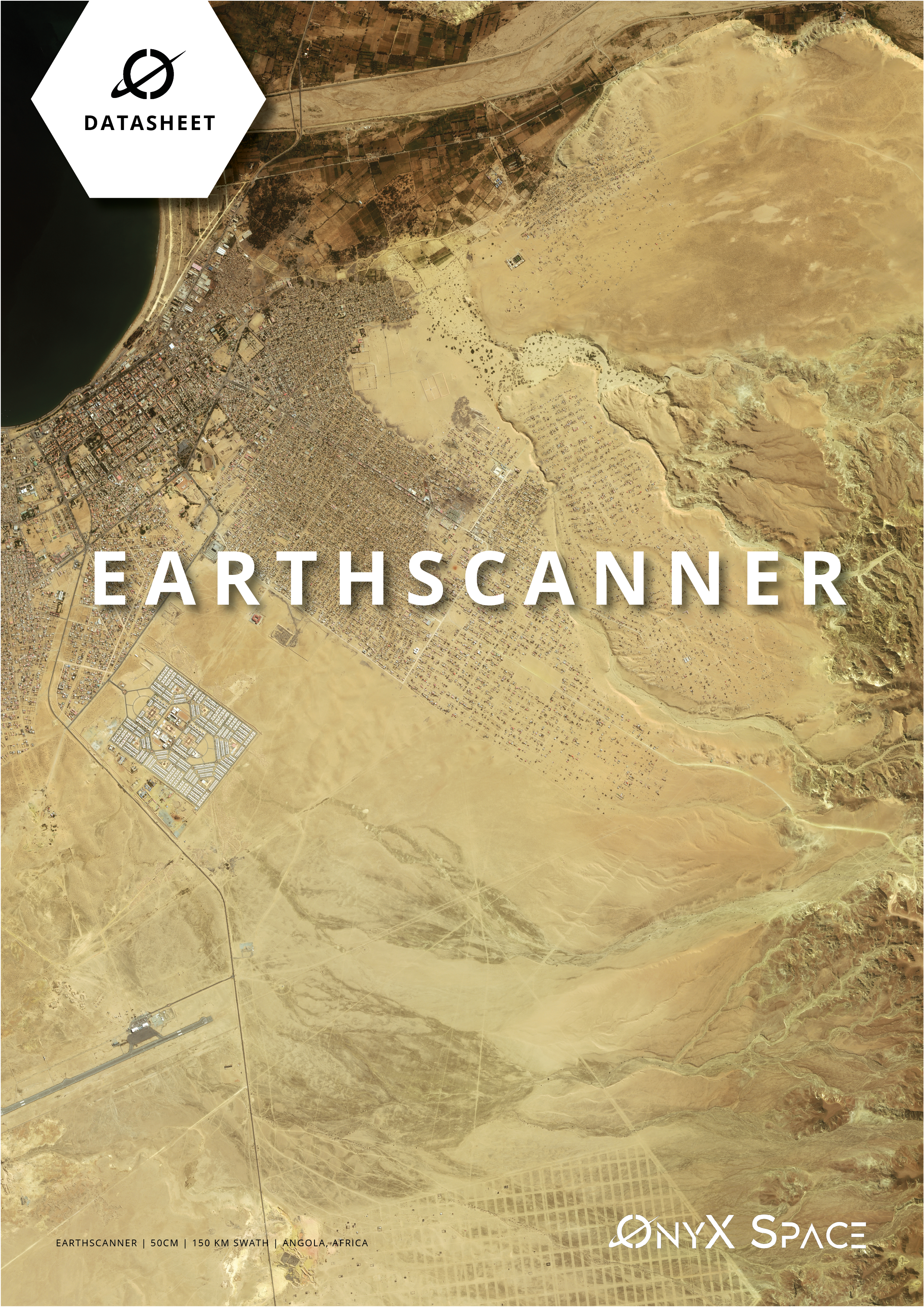
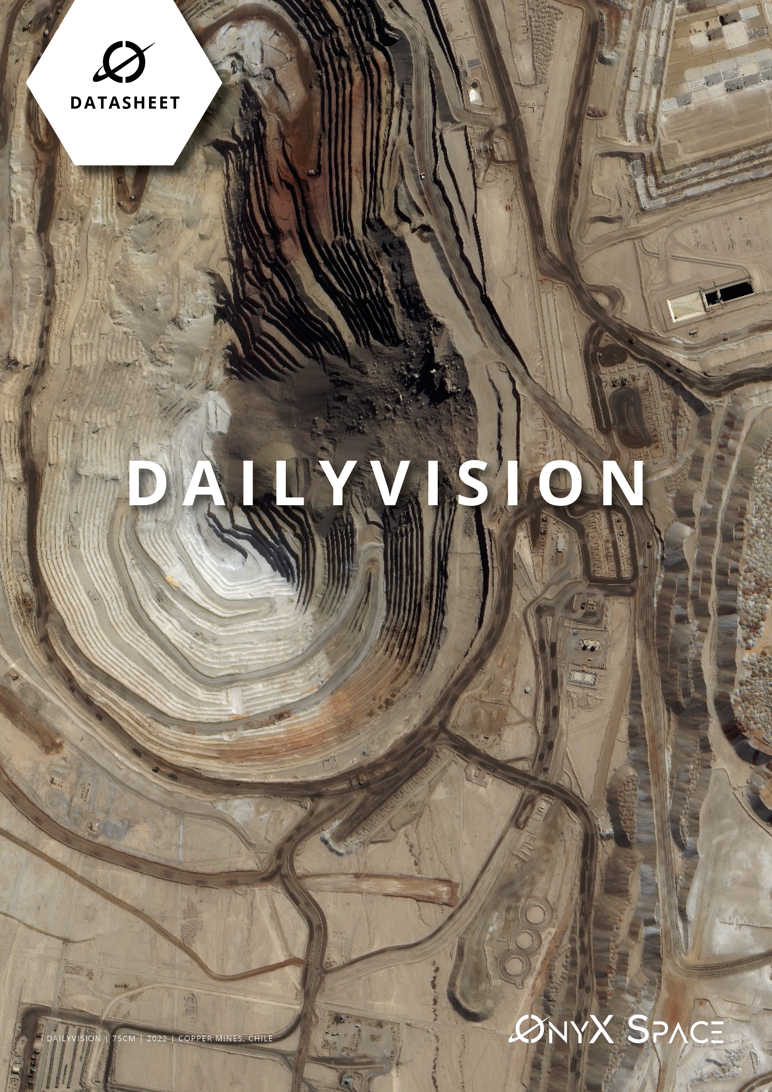
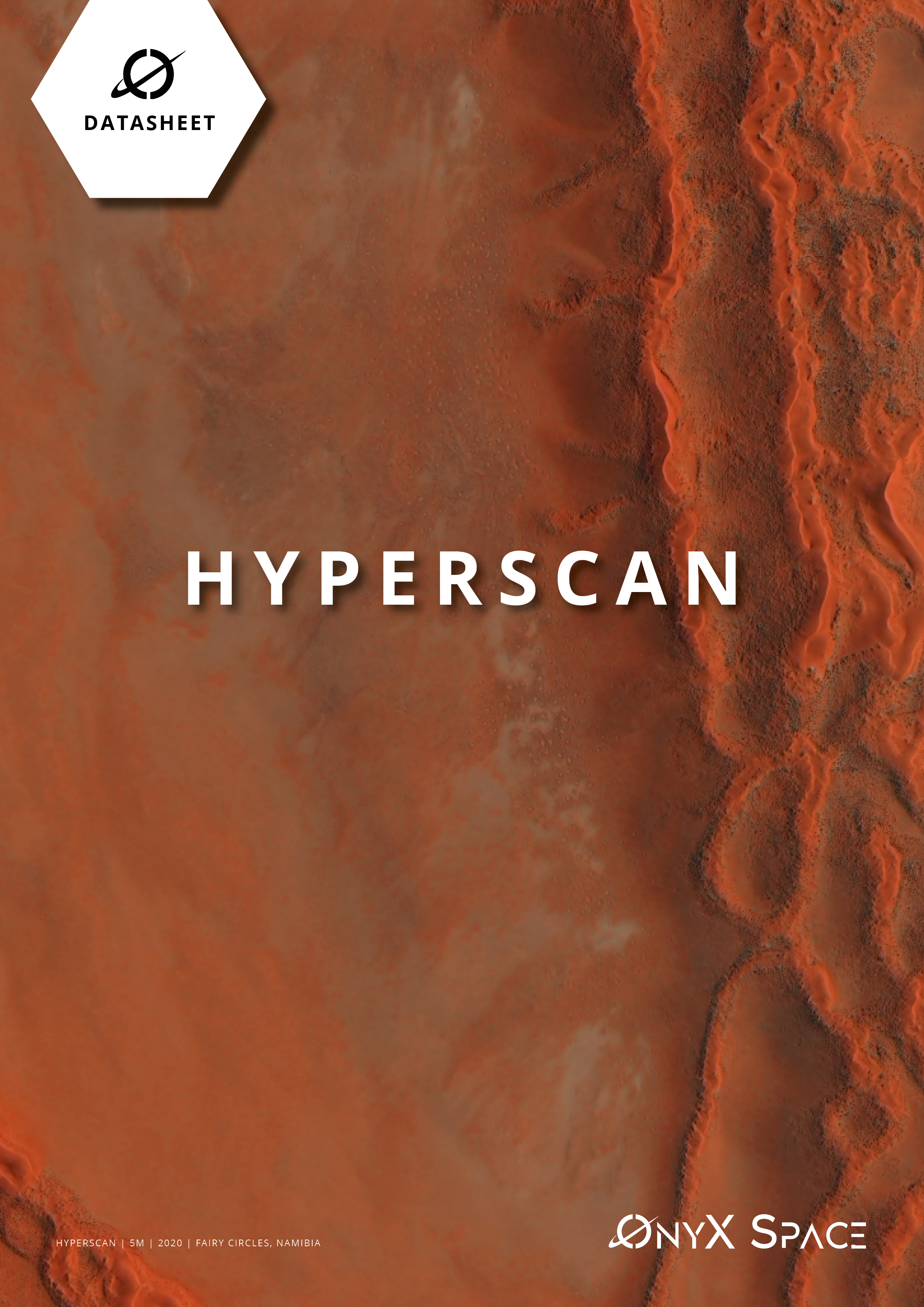
With the addition of Onyx satellite imagery to our portfolio, Lybra opens up a world of possibilities for businesses and organizations across Suriname. Boasting an impressive fleet of 90+ satellites, Onyx offers unparalleled image resolutions ranging from 30cm to 1m—perfect for capturing every detail of our beautiful country.
But it’s not just about resolution. Onyx satellite imagery delivers a range of cutting-edge products, including Tri-stereo imaging, True-color night imaging, Hyperspectral imagery, Video, and C-Band and L-Band SAR data. Whether you’re in the Oil & Gas industry, utilities sector, forestry, or land management, Onyx imagery equips you with the insights you need to make informed, data-driven decisions.
Ready to unlock the power of satellite imagery for your organization? Contact Lybra today to learn more about our partnership with Onyx and discover how we can help you thrive in a rapidly evolving world.
For additional information about Onyx, visit: Onyx Website
Click here to find out about the next event

