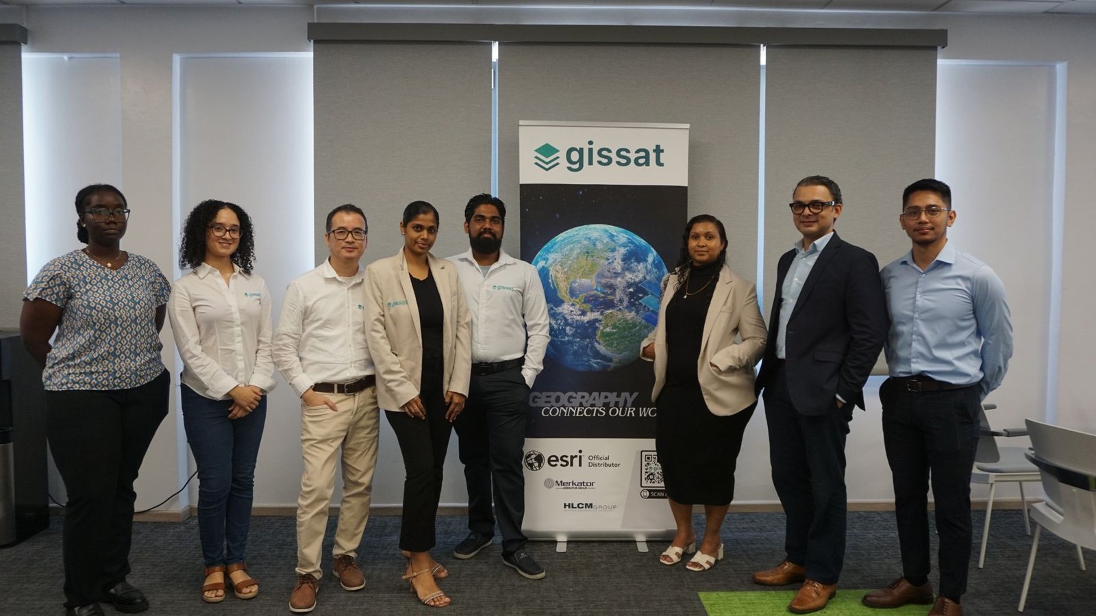
Reflections from the launch of GeoGov Suriname, co-hosted with N.V. GISsat on 11 August 2026.
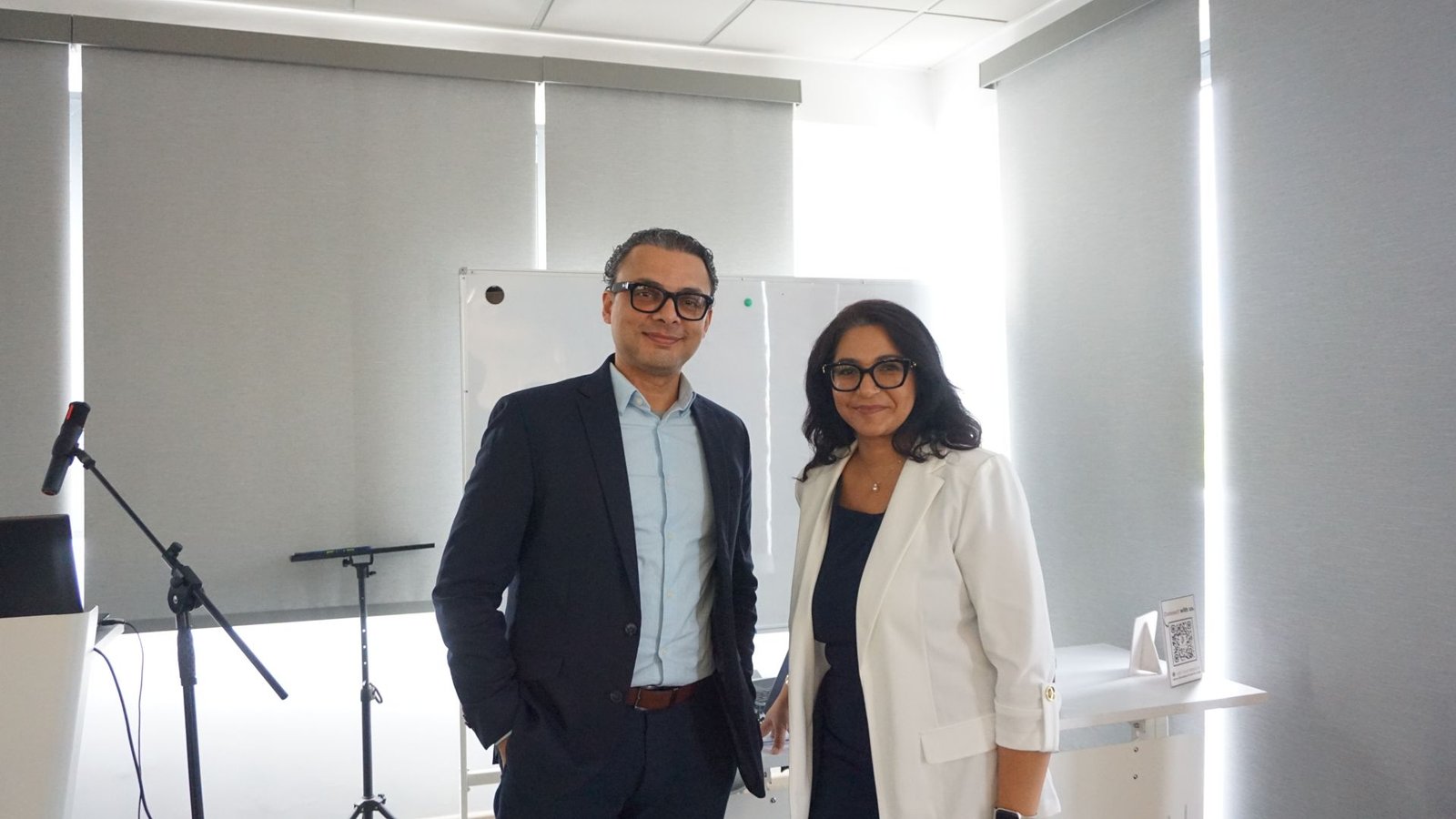
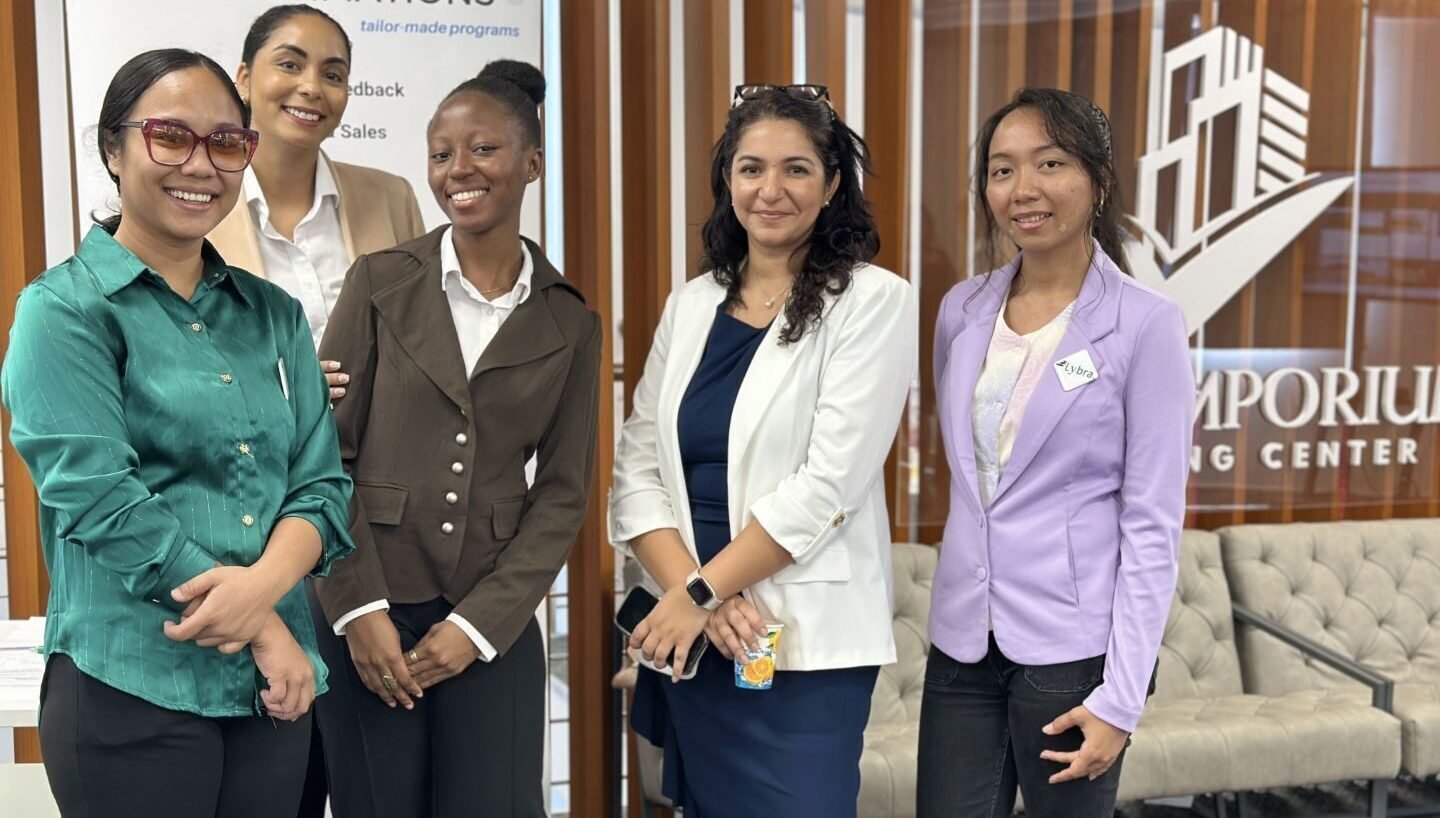
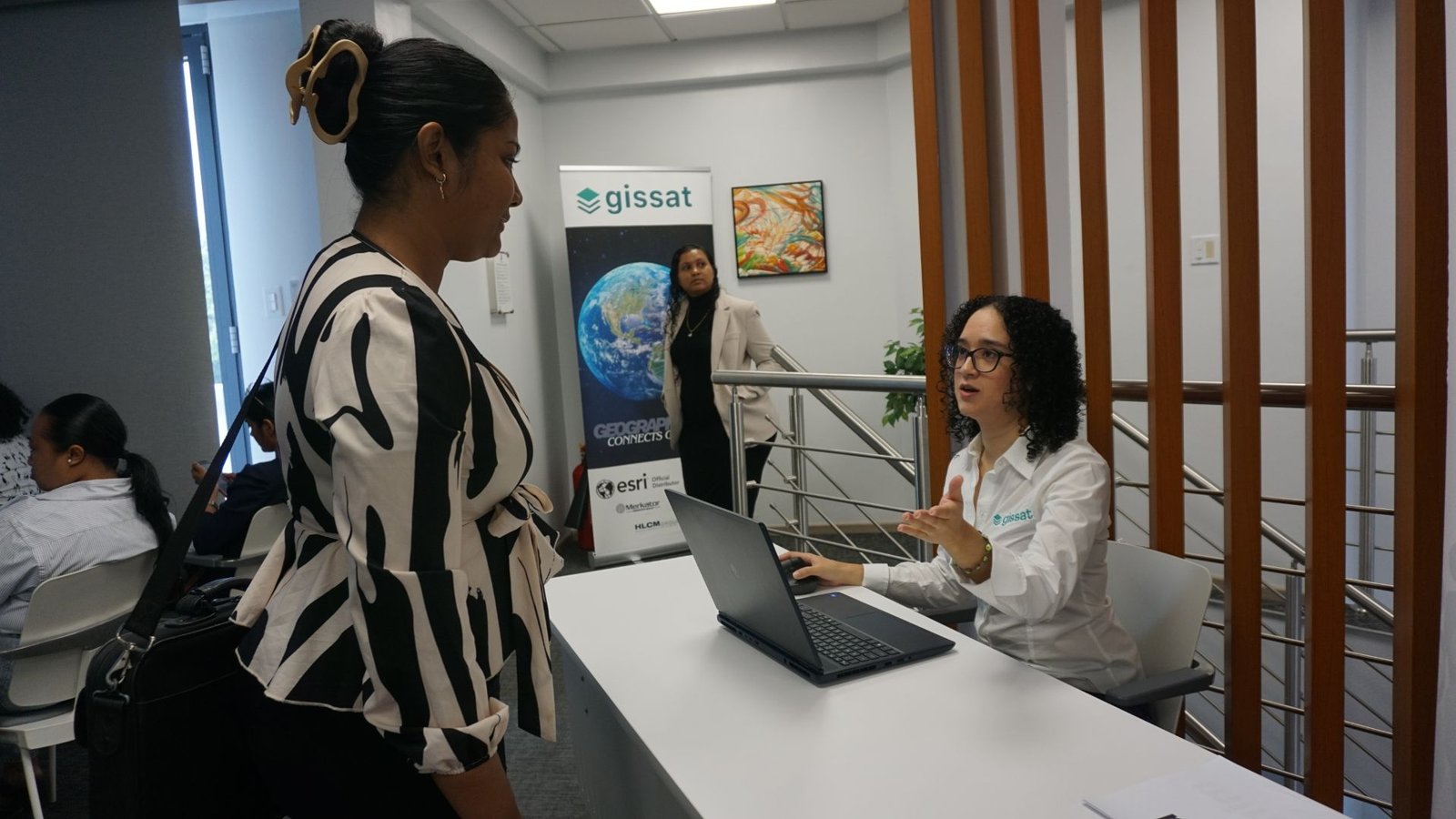
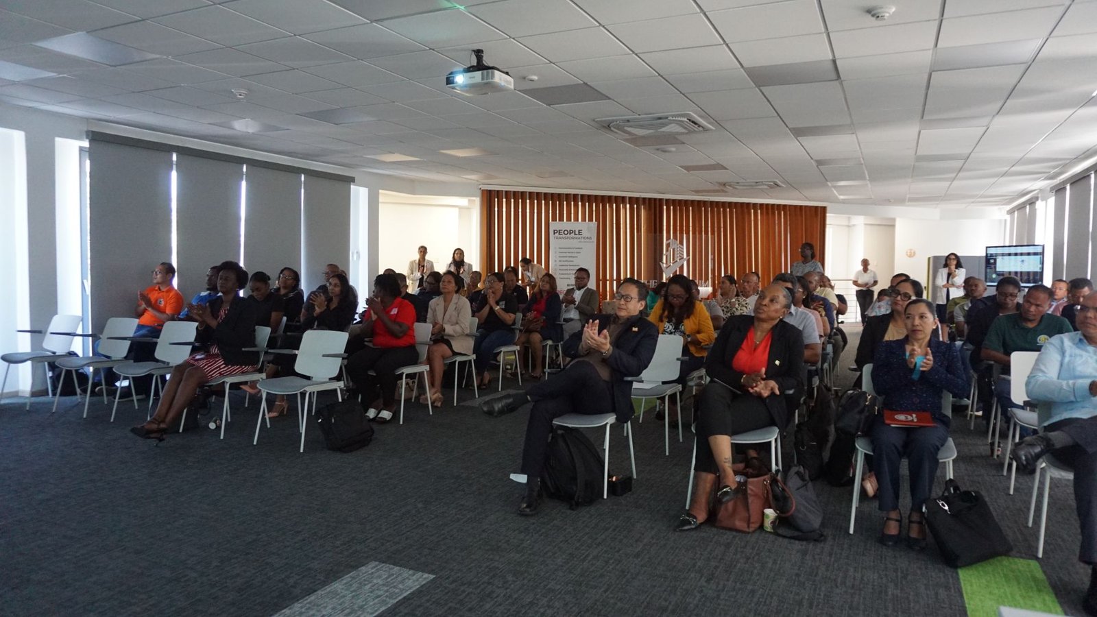
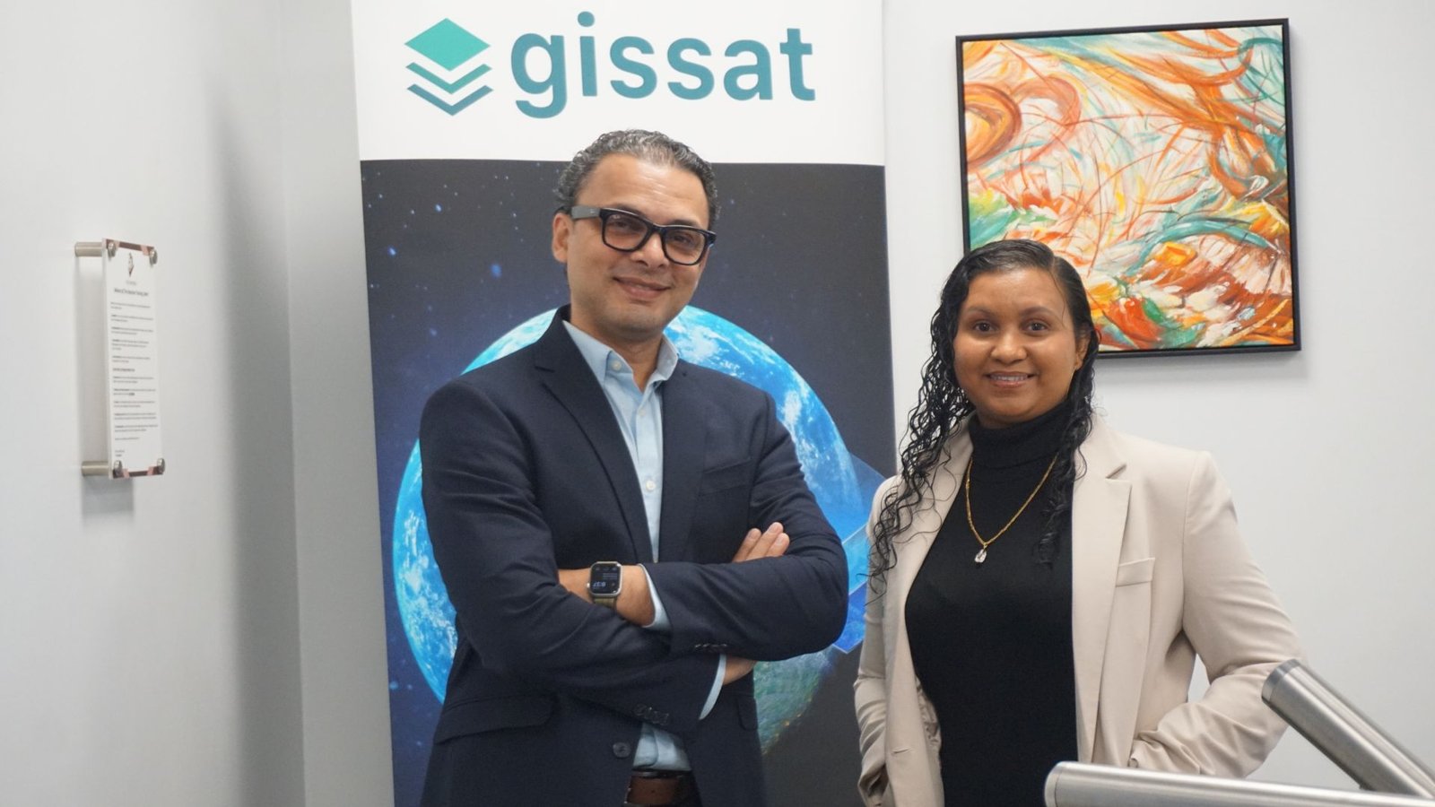
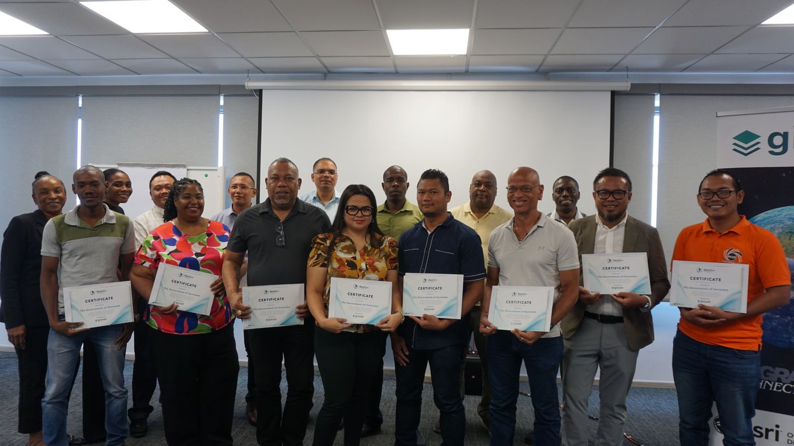
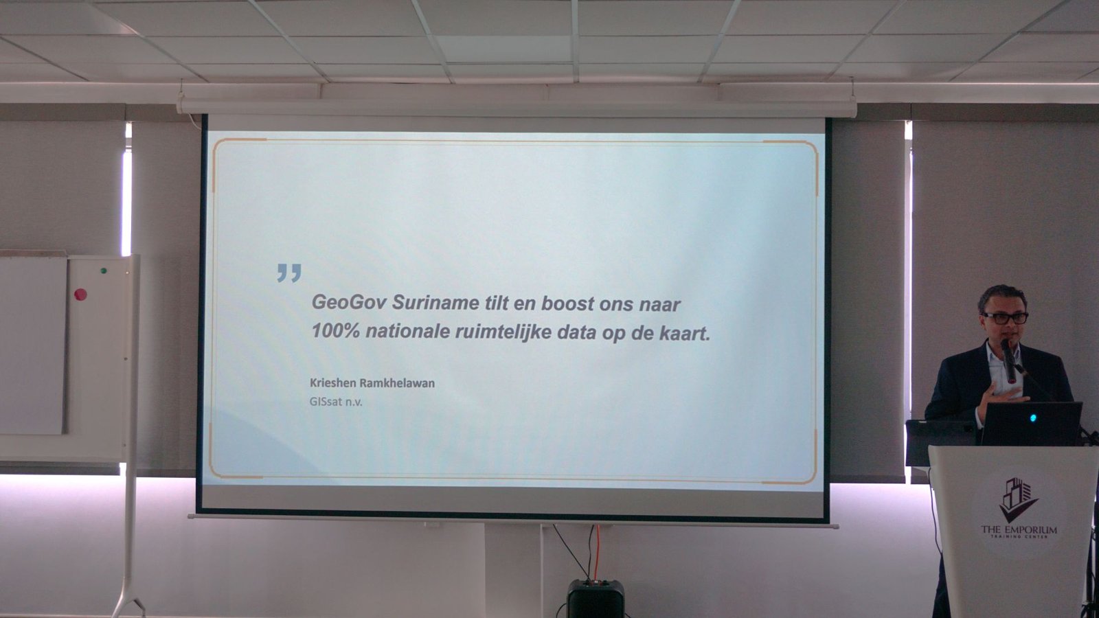
On Tuesday, 11 August 2026, we co-hosted the first GeoGov Suriname event with our partner N.V. GISsat at the Emporium Event Center. Sixty-one people from eighteen organizations were in the room, representing a large share of our ministries, and we were honored by the presence of Minister Stephen Tsang of the Ministry of Public Works and Spatial Planning.
GeoGov Suriname is GISsat’s initiative, and the ambition behind it is a serious one: to strengthen how geographic information and digital technology are used across Suriname’s public sector. Lybra is part of it because that ambition does not stop at the software. Over the coming year, we will be delivering training that helps government officials learn to work with ArcGIS – a very different task from installing it.
We Have Data. But Are We Using It?
Governments collect enormous amounts of information about roads, land, infrastructure, traffic, water, the environment, and public services. But collecting data is not the same as using it. And many of the challenges facing Suriname do not belong to a single ministry. Flooding does not; Traffic safety does not; Environmental pollution and land management do not either.
Solving them requires us to connect information across organizational boundaries.
After the event, fifty-three participants completed an evaluation – an 87 percent response rate, which says something on its own about how invested that room was. Their priorities were concrete: organizing government data, sharing information between institutions, traffic safety analysis, early flood warning, updating the national base map and address layer, and monitoring environmental pollution.
Notice what sits at the top of that list. Not software. Not satellites. Those are habit, discipline, and trust problems.
The two priorities most mentioned were about how data is collected, and whether it moves between the institutions that need it.
From Data to Action
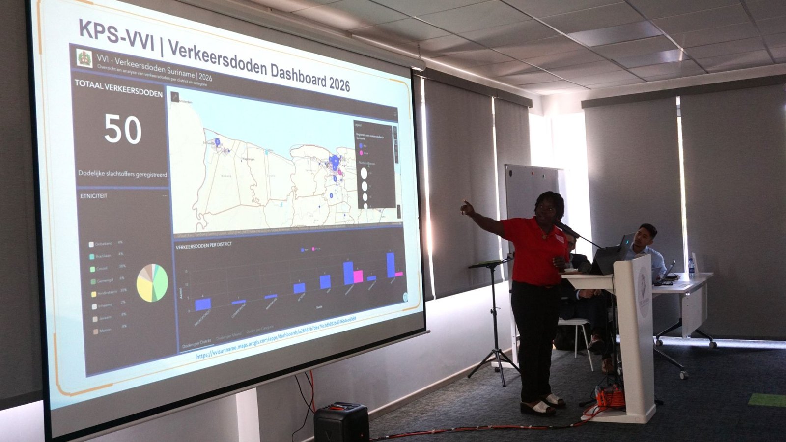
The presentations showed what becomes possible once the foundation is in place. MIGLIS demonstrated how GIS has strengthened Suriname’s land registration system, most visiblythrough the renewal of the National Base Map. The Ministry of Justice and Security presented a road safety dashboard, turning accident data into a picture you can act on rather than a file you archive.
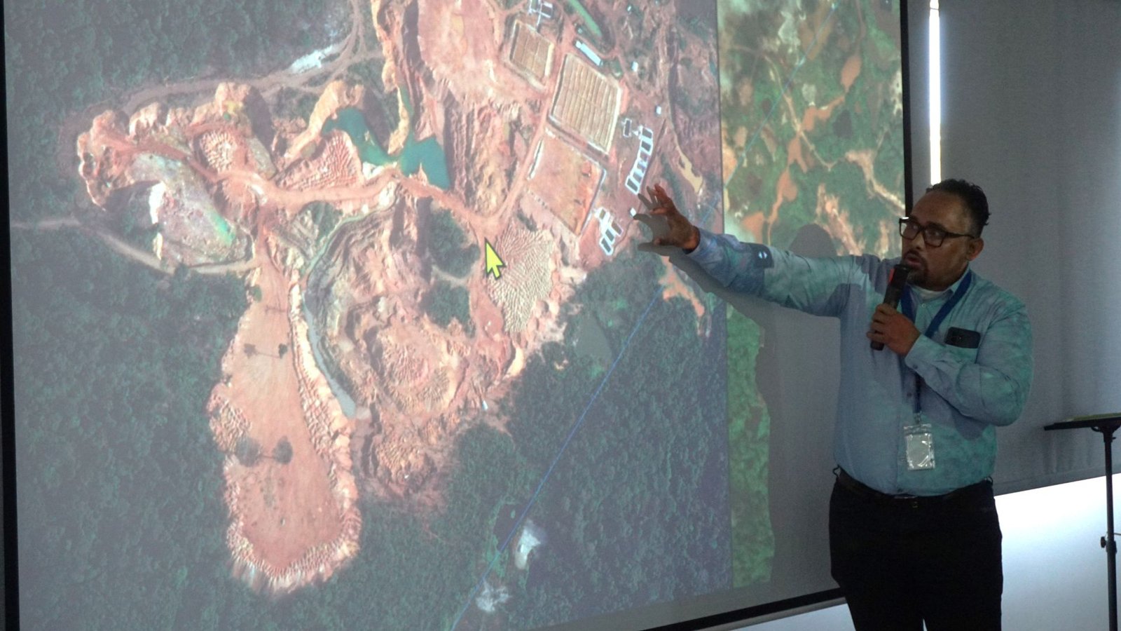
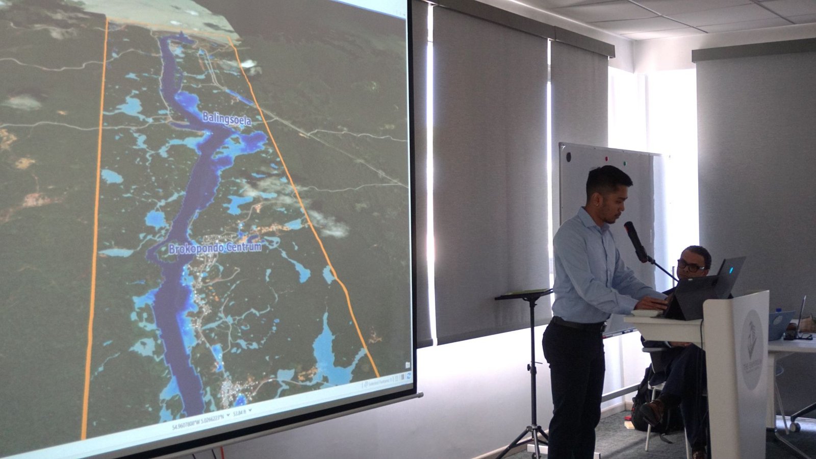
GISsat shared their work on early flood warning, and a case that stayed with us. When the National Environmental Authority received reports of mass fish mortality in the Moeroekreek area, satellite imagery at thirty centimeter resolution, combined with water-system data and field measurements, traced the contamination over more than a kilometer and revealed a single clear runoff route. The findings went to the responsible authorities as maps, and they could immediately act on it.
This is where digital transformation with GIS truly makes a difference. By bringing data, maps, and information together, organizations can gain clearer insights, respond to challenges faster, and make better decisions.
Technology Alone Will Not Create Transformation
The larger opportunity is not simply that more institutions will use GIS. It is that they can become connected through information – working from shared, reliable geographic data instead of repeatedly building their own disconnected datasets.
That shift takes more than software. It takes collaboration, standards, skills, and a willingness to stop treating data as something a department owns.
As part of the initiative, participating organizations received a GeoGov Suriname certificate and one year of access to the ArcGIS platform, with guidance and training for their staff. That training is where we come in, and we want to be honest about what makes it hard.
What turns access into impact is people having the knowledge and confidence to use it effectively. This means providing practical training that connects directly to their daily work, giving teams the time and support to learn, and creating an environment where even experienced professionals feel comfortable exploring new ways of working. Digital transformation and people transformation have to happen together.
A license is not adoption. Access is not capability.
A platform sitting unused inside a ministry is not a data-driven government; it is a line item.
Why We Are Sharing This
We are writing about GeoGov Suriname for two reasons. The first is that we believe in what GISsat is building, and initiatives like this only gain momentum when people know they exist. Much of the work described here, the base map, the flood modelling, the pollution tracing happens quietly. If this article reaches one more decision-maker who realizes that the information they need already exists, it has done its job.
The second reason is closer to home. Lybra exists because we believe organizations change when people do. Most of our work happens at the scale of a team or a department. This initiative asks the same question at the scale of a country: what becomes possible when people are given the skills, the confidence, and the permission to work differently? Suriname is small enough that the answer is not abstract. Capability built inside one ministry shows up in services that people actually use.
That is why we said yes when GISsat invited us in, and why we will spend much of the coming year in training rooms.
This Is Only the Beginning
Now comes the harder and more interesting part: turning conversation into collaboration, priorities into projects, and insight into decisions that improve services and outcomes for the people of Suriname. The real measure of success will not be how many organizations receive access to technology. It will be what they build with it.
Our thanks to N.V. GISsat for the ambition behind this initiative, and to every ministry and representative who came, contributed, and made the first step a shared one. A data-driven government is not created by collecting more data. It is created when people have the tools, the skills, and the willingness to turn information into action.
Learn more and register for the workshop📩
Bridging the Generation Gap
📆Friday, October 16, 2026
Bridging the Generation Gap: How to Lead a Multigenerational Team.